


 iStock/Thinkstock(NEW YORK) — Snow continued to pile up today across the United States as arctic air moves over the relatively mild Great Lakes, producing major lake-effect snow to the east.
Erie, Pennsylvania, with 34 inches, recorded the snowiest Christmas Day ever, as well as the snowiest month for December in state history.
That snow will continue through Wednesday, so the National Weather Service has continued its lake-effect snow warning from Ohio to Pennsylvania and into western New York state.
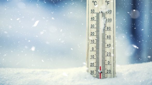
There’s also a major blast of cold stretching from the Rockies into the Northeast, with Chicago and Minneapolis seeing the coldest Christmas since 1996.
Duluth, Minnesota, had the coldest Christmas since 1933.
Eighteen states from Montana to New York are feeling the dangerous wind chills. The National Weather Service has issued wind-chill warnings and advisories for wind chills expected to dip as low as minus-50 in the Northern Plains. Everyone else will see wind chills from minus-25 to minus-45.
The National Weather Service in the Northern Plains and western Great Lakes is warning that exposed skin can get suffer frostbite in as little as 10 minutes.
Copyright © 2017, ABC Radio. All rights reserved.