


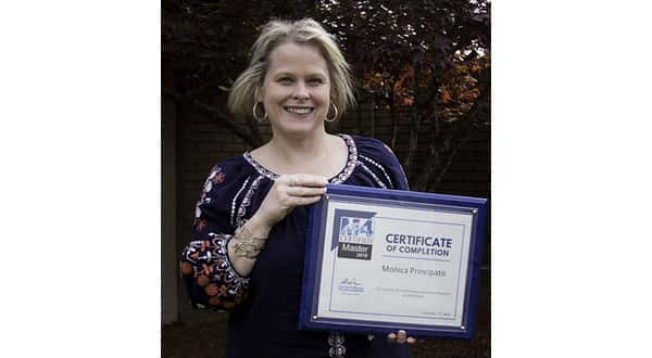
Monica Principato, an assigner in the engineering department at NATCO Communications, Inc., has completed training and achieved certification in M4, operation-support software used for GPS/GIS mapping and network visualization.M4 is used in a variety of industries, including hospitals, colleges and utilities. At NATCO, engineers and assigners use the program to plot customer and plant data. M4 helps determine what services NATCO can provide to its customers and plan future fiber builds.Principato’s certification follows her attendance at the Mapcom M4 users conference. She traveled to Richmond, Virginia, where she joined over 140 attendees representing 62 organizations.
The 3-day conference featured educational workshops, networking opportunities and project planning meetings. While in attendance, Principato became a certified M4 professional. Upon returning to Flippin, Principato quickly worked to become a certified Mapcom master, the highest of four certification levels Mapcom offers.
NATCO says Principato will use her knowledge and certification to gauge how the data in the system translates and applies to the physical equipment and customer premises.
Her expertise will also help determine what services NATCO can provide for its customers.
Principato has been with NATCO for 18 years and has been using M4 since the Flippin-based company purchased the software in 2015.
WebReadyTM Powered by WireReady® NSI