


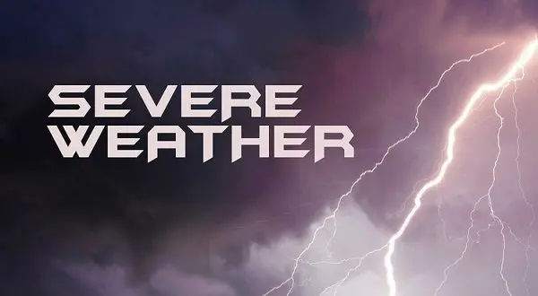
Severe weather is possible on Tuesday as the Twin Lakes area marks the second day of fall. The National Weather Service (NWS) has issued a flood watch for the area through Wednesday and a marginal risk of tornado activity developing Tuesday afternoon.
NWS meteorologist Alex Young tells KTLO News that showers will begin early in the morning and a cold front moving through Oklahoma will usher in the chance for severe weather in the afternoon and evening. Although chances remain low for a tornado to form conditions will make it and other forms of severe weather possible.
Listen:
Young says the primary threat remains the heavy rain that may fall area wide. Flash flooding will be possible when accounting for the very dry conditions over the last month aiding in fast runoffs.
Listen:
Rain chances diminish heading into Wednesday with a 50 percent chance of showers and Thunderstorms. By Thursday sunny conditions are expected to return with cooler temperatures expected in the mid 70s.
Stay tuned on air and online to KTLO, Classic Hits and the Boot for the latest in severe weather coverage.
WebReadyTM Powered by WireReady® NSI