


Wind damage to an awning on the square in Mountain Home
“If you don’t like the weather, wait a few minutes,” rang true on Sunday as a warm humid day quickly descended into a frozen mess with hail, wind damage, power outages and freezing temperatures continuing into Monday.
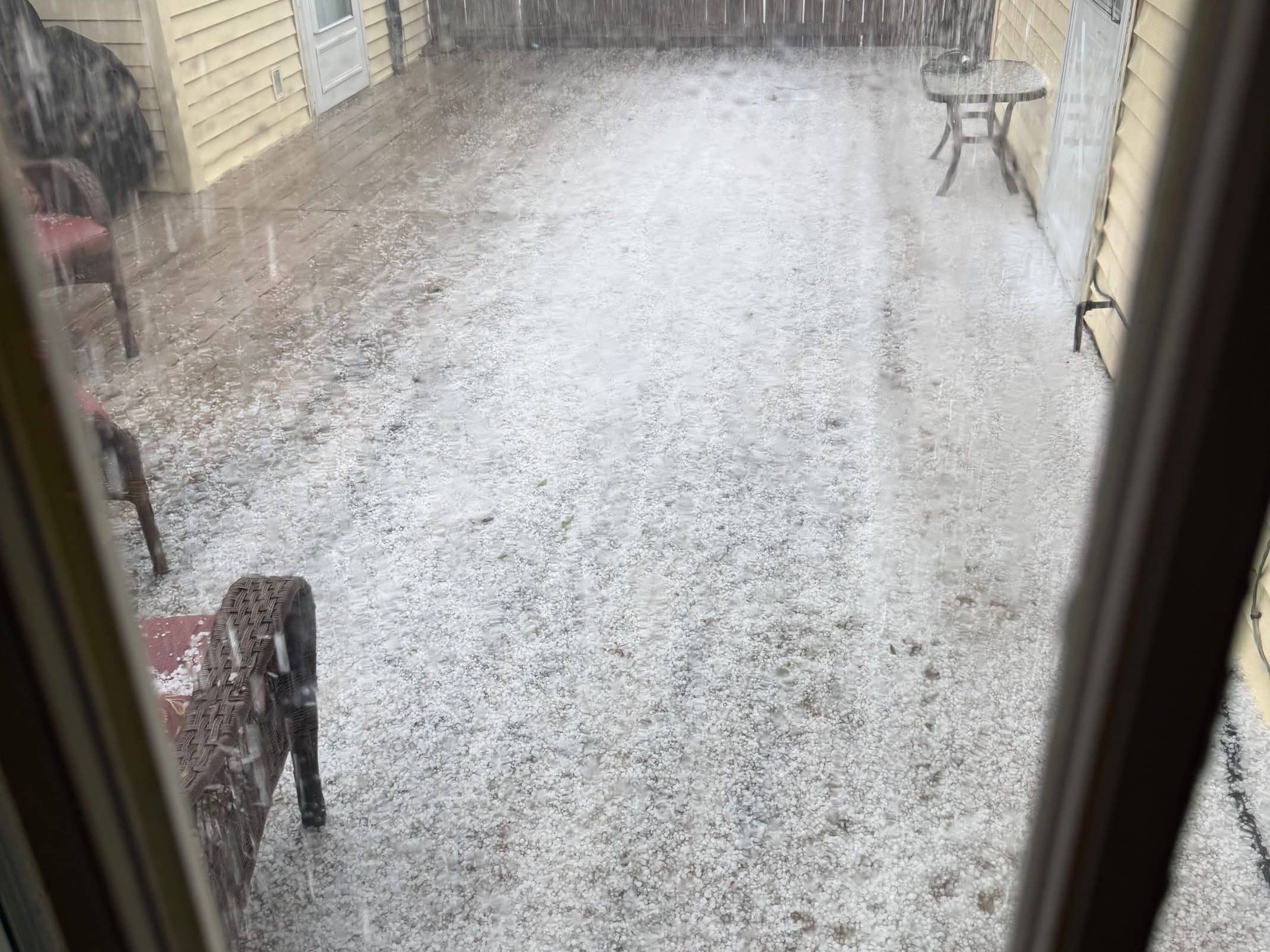
Flippin was one of many towns that saw heavy hail Sunday
The day began mild and calm with a high of 65 recorded around 2 in the afternoon at KTLO. A strong line of storms moved through the area between 3 and 5 and conditions quickly changed. A heavy round of pea sized hail was reported in western Marion County and tracked east through Yellville, Flippin, Mountain Home and Gamaliel. Heavy rain was in the storm with 0.56 inches recorded at KTLO. Multiple severe thunderstorms warnings were issued and in southern Missouri towns like Willow Springs were under tornado warnings.

Bakersfield Volunteer Fire Department among many clearing fallen trees
The winds that followed the storm began causing issues for local utilities as power began to be knocked off from falling tree limbs and broken power poles. At the height of the outage around 6:30 p.m. North Arkansas Electric Coop was reporting 7500 members without service but most service was restored by 7:30. Near midnight crews continued to work smaller pockets of outages with 576 without power. As of Monday morning most service was back online.
Through the night sustained winds out of the north of 20 mph were recorded at the Baxter County Airport with gusts at times as high as 40 mph. Damage around the area was observed from the square in Mountain Home to downed trees near Bakersfield. The northern winds quickly moved cold air into the area with temperatures dropping 20 degrees when the initial storm crossed through.
Monday mornings temperature was 28 degrees with a feels like temperature near 10 degrees. The National Weather Service has issued a freeze warning for the entire area into Tuesday as cold dry conditions continue. The NWS warned of the dangers of outdoor burning Monday as humidity levels will be low near 30%.
The cold is not expected to stay around long. By Wednesday highs will be in the 70s again with the weekend looking like temperatures could reach 90 degrees.
WebReadyTM Powered by WireReady® NSI